
More pages in this section
Page last updated on 10-08-2026.
Our Environment
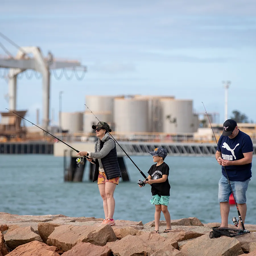
Cleveland Bay is a highly connected coastal ecosystem that supports wildlife, fisheries, cultural heritage and community life.
Its seagrass meadows, coral reefs, mangroves and wetlands work together to support a rich and diverse coastal ecosystem. Cleveland Bay also supports a diverse range of wildlife, including dugongs, marine turtles, in-shore dolphins, migratory birds and fish and invertebrates.
Beyond its environmental values, Cleveland Bay supports recreation, boating, tourism, transport, education, research and port activities that contribute to the region's economy and lifestyle.
Understanding these values is an important part of managing activities within and around the bay.
Cleveland Bay Ecosystem Dynamics
Cleveland Bay is a highly diverse and dynamic coastal environment where coral reefs, seagrass meadows, mangroves, mudflats, beaches and estuaries are connected through complex natural processes. These ecosystems have evolved in a naturally variable environment and have demonstrated adaptation and resilience over time.
The health of Cleveland Bay is influenced by both local conditions and regional processes that operate across catchments, coastlines and the Great Barrier Reef. Understanding our environment and knowing how the bay will respond to regional weather events (e.g. cyclones), is important when operating within the bay.
Ecosystem Dynamics - Technical Summary Ecosystem Dynamics - Fact Sheet
Sediment Origin and Dynamics
Natural processes that transport and redistribute sediment throughout Cleveland Bay also contribute to the gradual accumulation of sediment within the Port’s shipping channels and harbour areas.
Understanding how sediment moves through Cleveland Bay is therefore fundamental to understanding why maintenance dredging is required.
Sediment Origin - Technical Summary Sediment Origin - Fact Sheet
Hydrology and Hydrodynamics of Cleveland Bay - StoryMap
Healthy Waters Partnership for Dry Tropics
Satellite Imagery
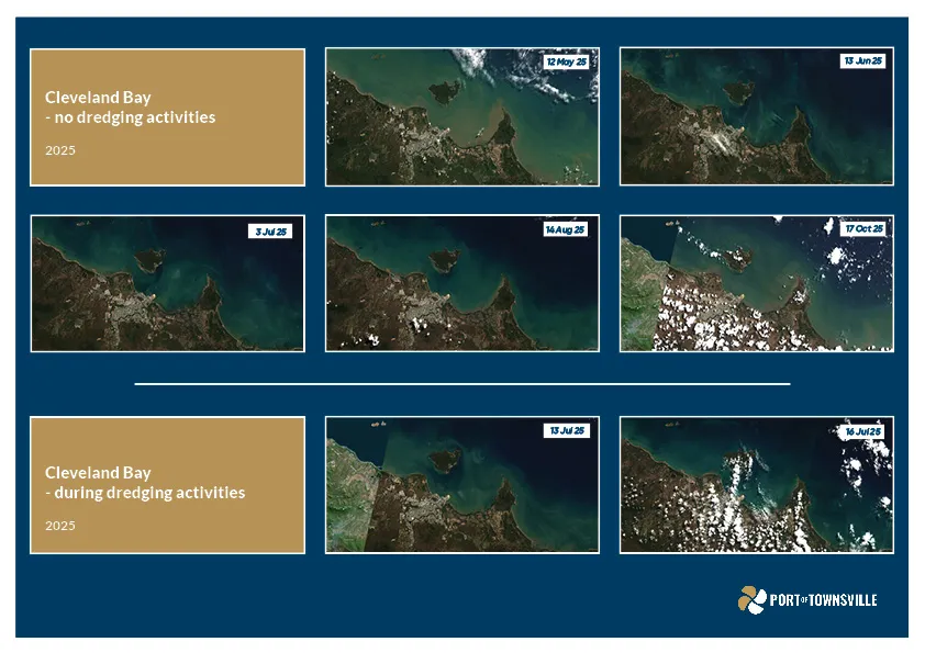
Satellite images of Cleveland Bay are useful way of capturing visually how the sediment moves throughout the Bay. As sediment movement is highly influenced by tides, winds and currents, the satellite images help to understand the conditions that are occurring, including when it is cloudy as it reduces the amount of light available for seagrasses and other habitats that depend on light.
Satellite images are available every few days and over time, shows that a lot of sediment does move around Cleveland Bay. The Port also uses these images to inform our understanding of water quality monitoring data.
The following short video clip provides all satellite images for Cleveland Bay between April and November 2025 – summer months were not included due to high cloud cover impacting images. In the video, the days when maintenance dredging and placement activities are occurring are shown for context.
The infographic below also shows selected images across 2025, including before, during and after maintenance dredging and placement – highlighting how sediment in the bay moves around irrespective of whether maintenance dredging and placement activities are occurring.
Environmental Monitoring Programs
Environmental conditions in Cleveland Bay are influenced by many interacting natural factors, including weather, river flows, cyclones and marine heatwaves. The Port of Townsville’s long-term environmental monitoring programs in and around Cleveland Bay are designed to help understand these broader patterns over time, support understanding of natural environmental variability and the condition of key marine habitats and species. These monitoring programs, described below, outline the environmental context in which port operations, including maintenance dredging and sea placement of dredged material, occur.
Marine Water Quality
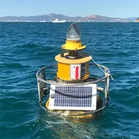
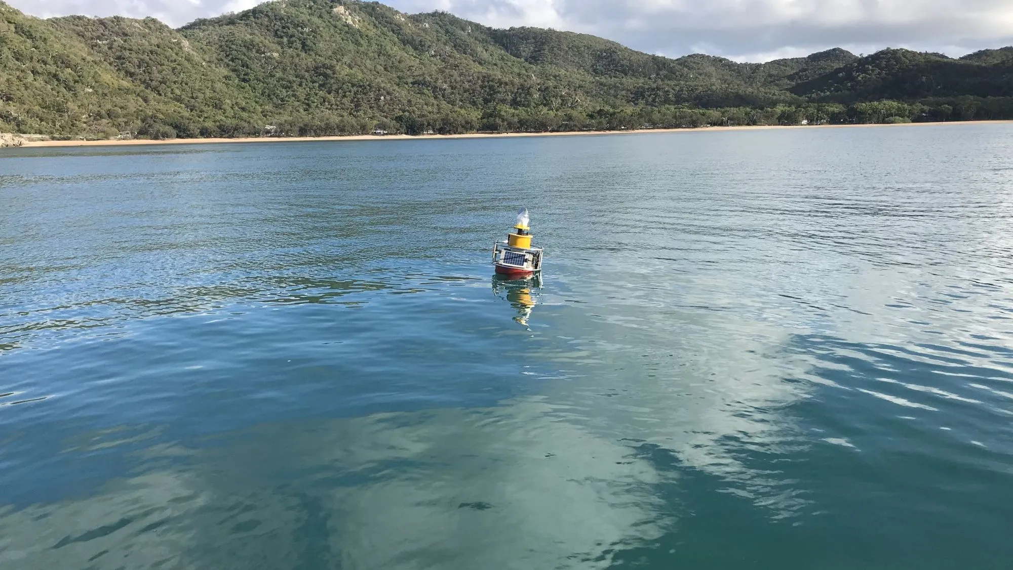
The Port's long-term marine water quality monitoring helps to understand spatial and temporal variation in water quality across Cleveland Bay and surrounding areas. Monitoring focuses on parameters such as turbidity, underwater light availability and temperature, particularly at locations near sensitive marine habitats.
The data provide context for understanding natural variability driven by weather events, seasonal conditions and regional climate influences. Information from this monitoring informs broader environmental management and planning, including consideration of maintenance dredging and dredge material placement, while recognising that water quality is influenced by multiple factors.
Marine Water Monitoring - Technical Summary
Satellite Monitoring of Water Quality in Cleveland Bay - Technical Summary
Seagrass
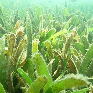
The Port has undertaken long-term seagrass monitoring across Cleveland Bay and southern Halifax Bay to assess changes in seagrass distribution, biomass and species composition since 2007. The long-term nature of the program allows observed changes to be considered in the context of historical variability and broader regional trends.
Results show that seagrass condition varies across locations and years, reflecting the influence of climate events, weather patterns and other environmental drivers.
Seagrass Monitoring - Technical Summary Seagrass Monitoring - 2025 Report
Guardians of the Bay - StoryMap
Healthy Waters Partnership for Dry Tropics
Coral
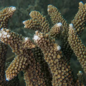
Coral reef communities in Cleveland Bay are characteristic of turbid-zone reef systems and naturally experience variable light and sediment conditions. The Port’s coral monitoring program provides information on coral condition and trends over time at selected reef locations.
Monitoring results demonstrate that coral condition varies between sites and over time, with changes influenced by extreme weather events, such as cyclones, as well as other environmental factors.
Coral Monitoring - Technical Summary
Corals of the Townsville Region - StoryMap
Healthy Waters Partnership for the Dry Tropics
Inshore Dolphins
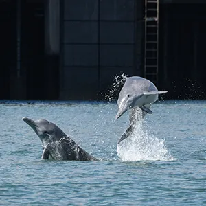
Coastal waters around Townsville support populations of Australian snubfin and humpback dolphins. The Port’s inshore dolphin monitoring program used photographic identification surveys to understand dolphin distribution, movement and habitat use in Cleveland Bay and in southern Halifax Bay.
Findings indicate variability in dolphin abundance and distribution between years, reflecting movement between Cleveland Bay and surrounding areas.
Benthic Fauna
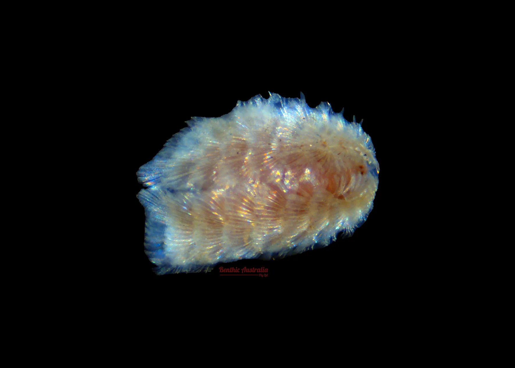
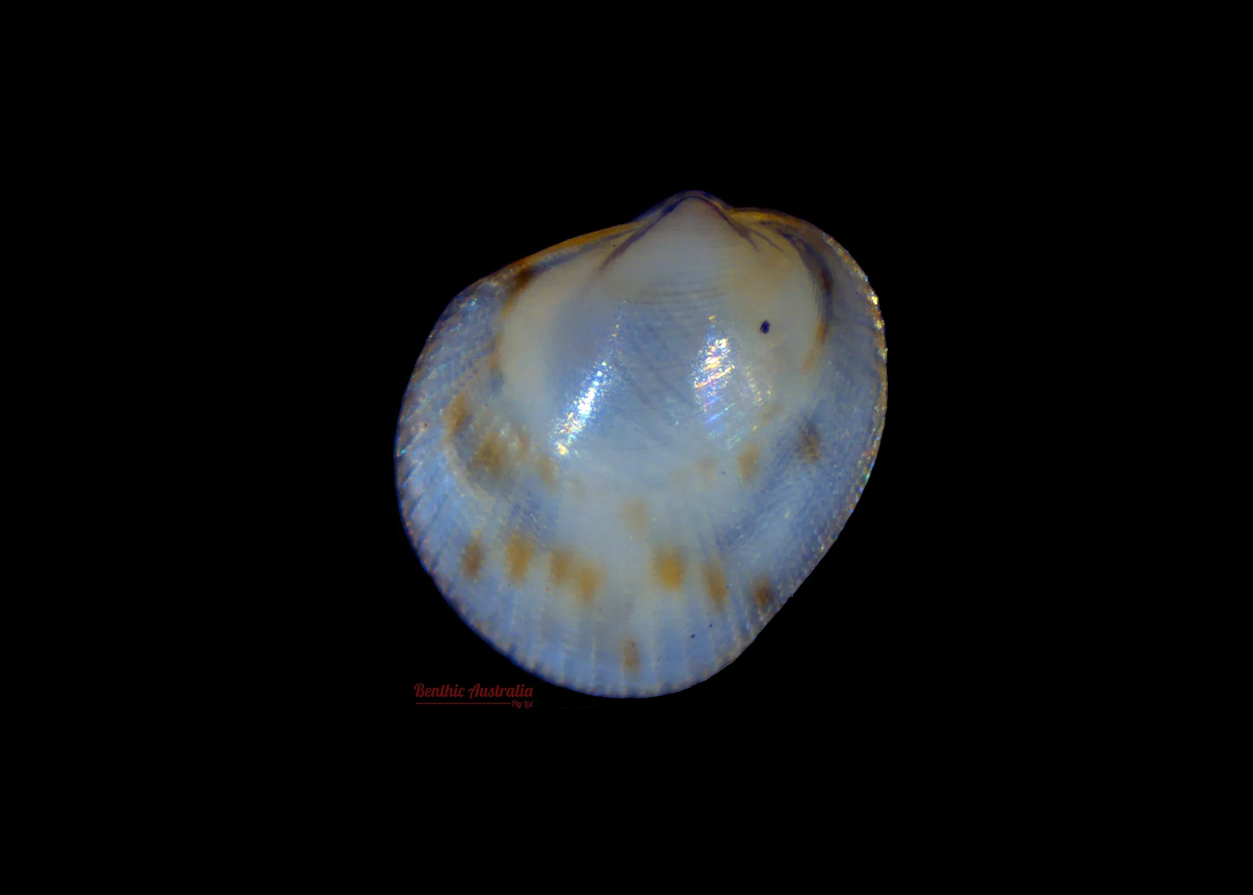
Marine benthic communities live within the seabed (the benthic zone) and provide ecological services including food provision and habitat foundation. Through burrowing, feeding, and digging into the seafloor, the benthic organisms mix the sediments and move nutrients, organic matter and oxygen through the layers, which help maintain a healthy ecosystem.
The Port has undertaken monitoring within and surrounding the DMPA, investigating the presence, recovery, and resilience of the benthic communities.
Results show dredge material placement at the DMPA does not have a long-term effect on the benthic communities living in the DMPA.
Limidae
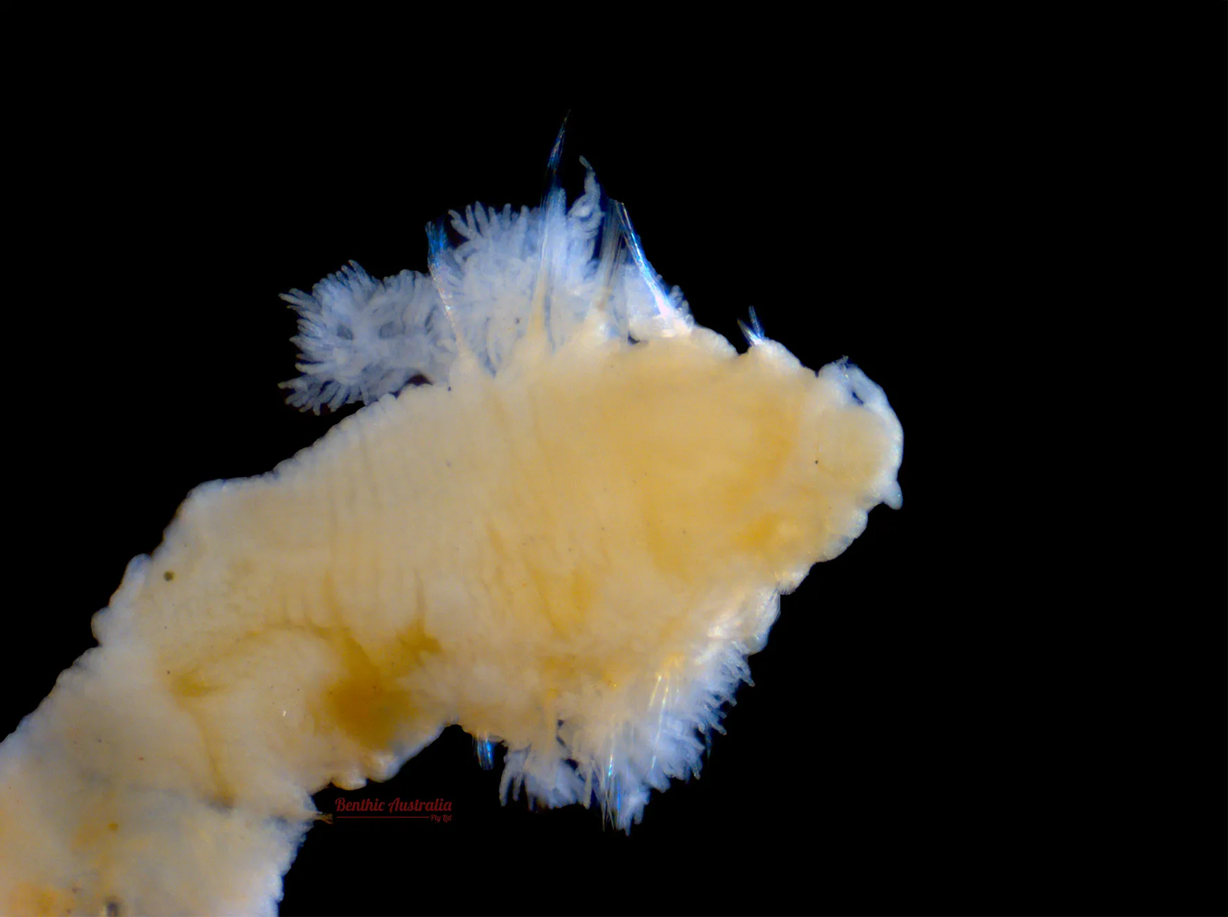
Scalibregmatidae
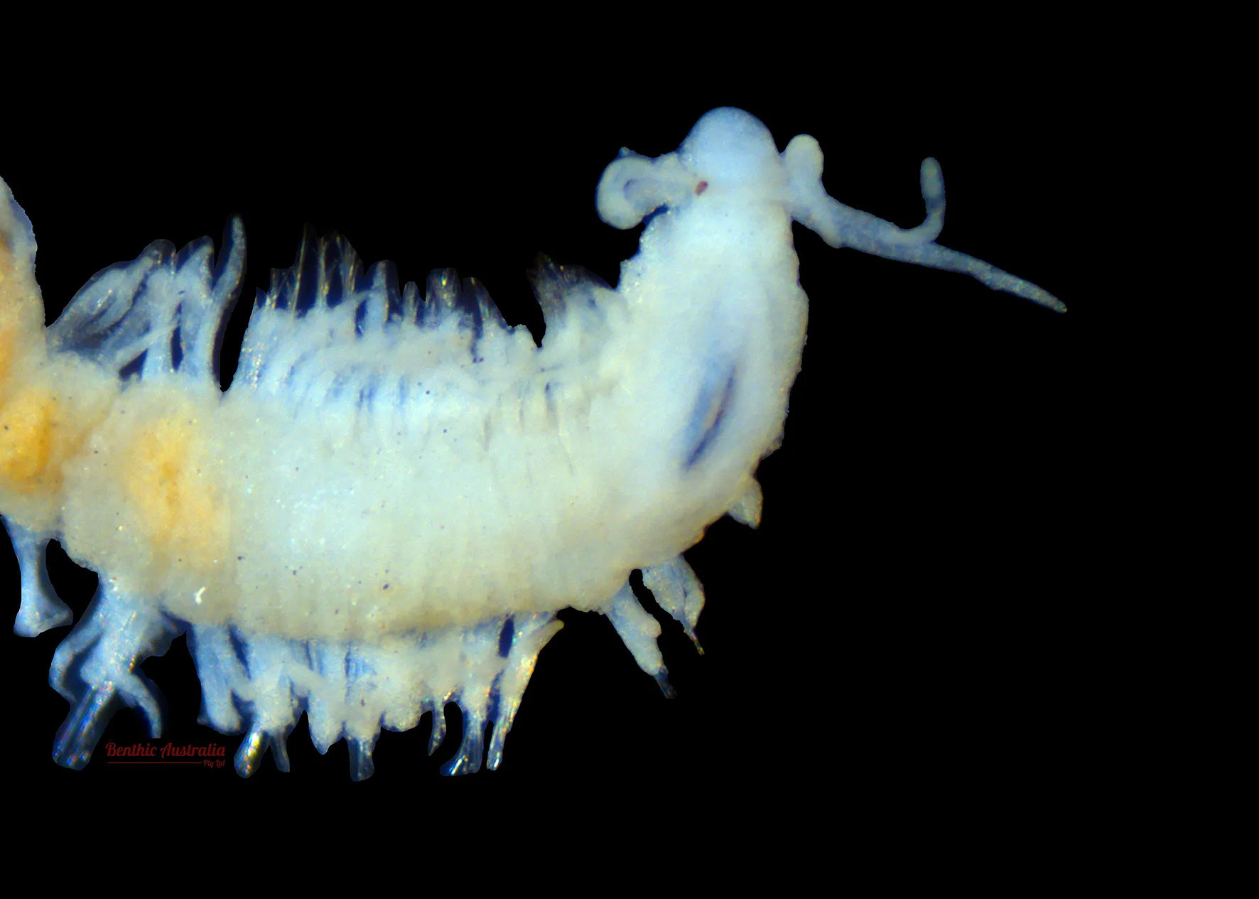
Dorvillidae
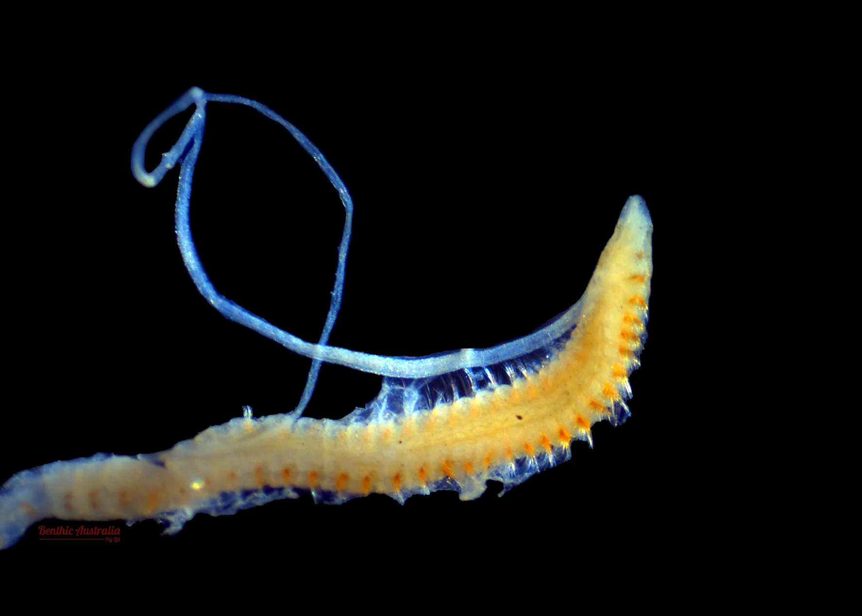
Cossuridae
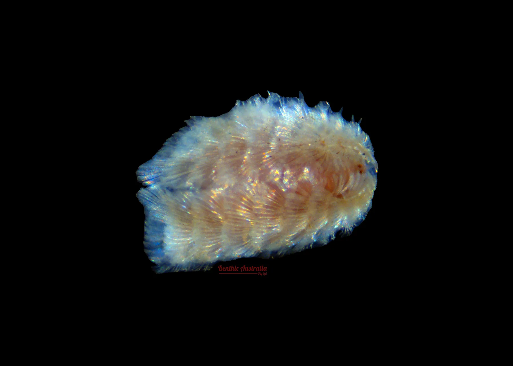
Chrysoptellidae
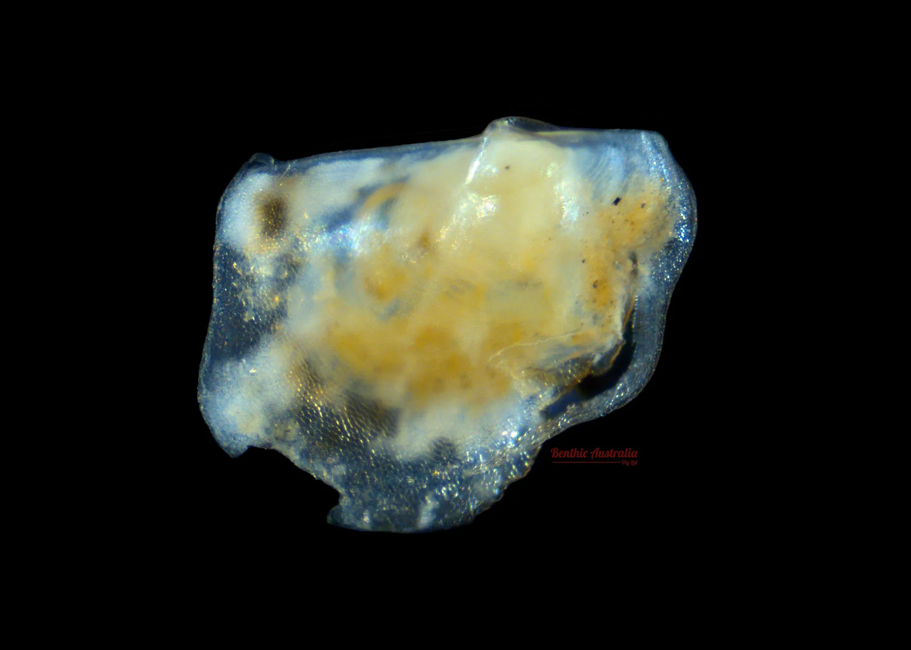
Pterridae
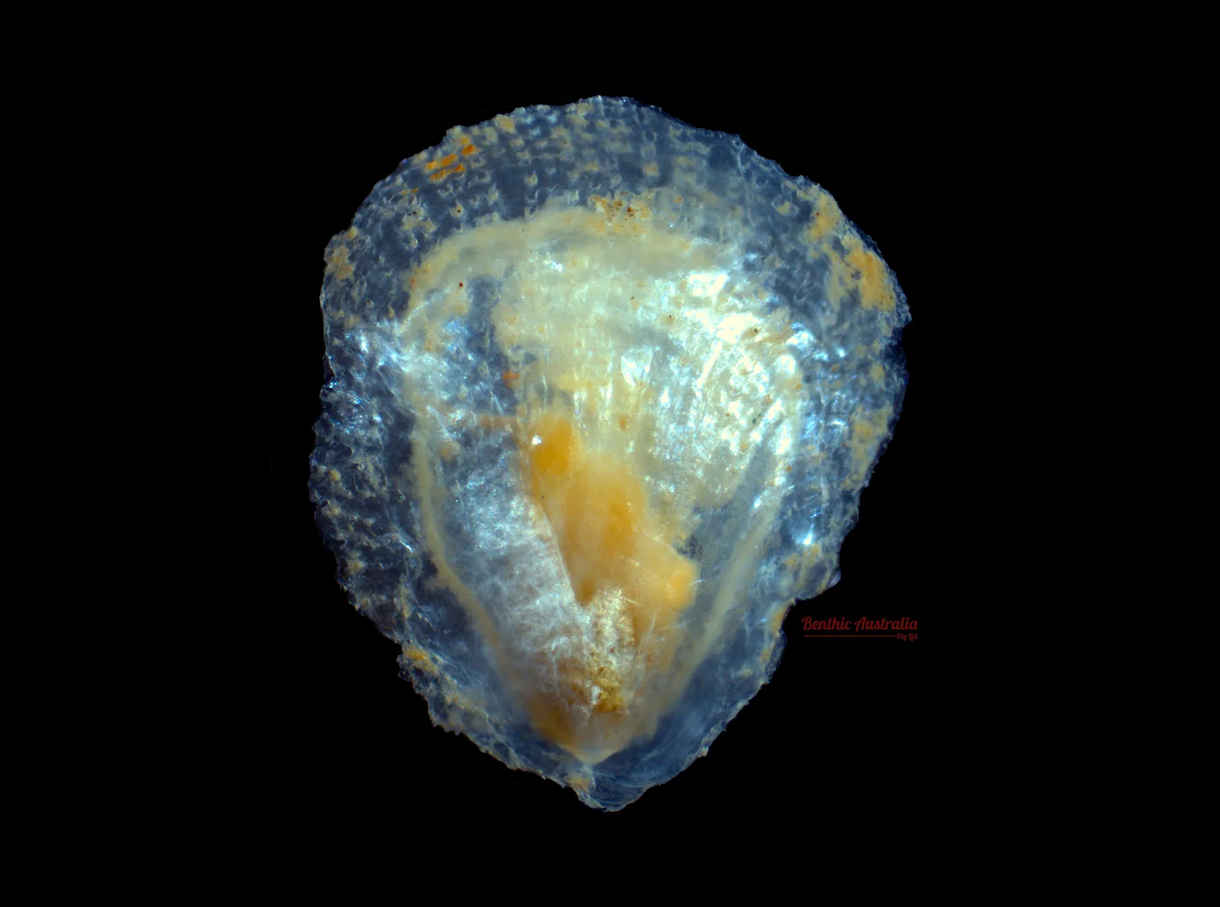
Amonlidae
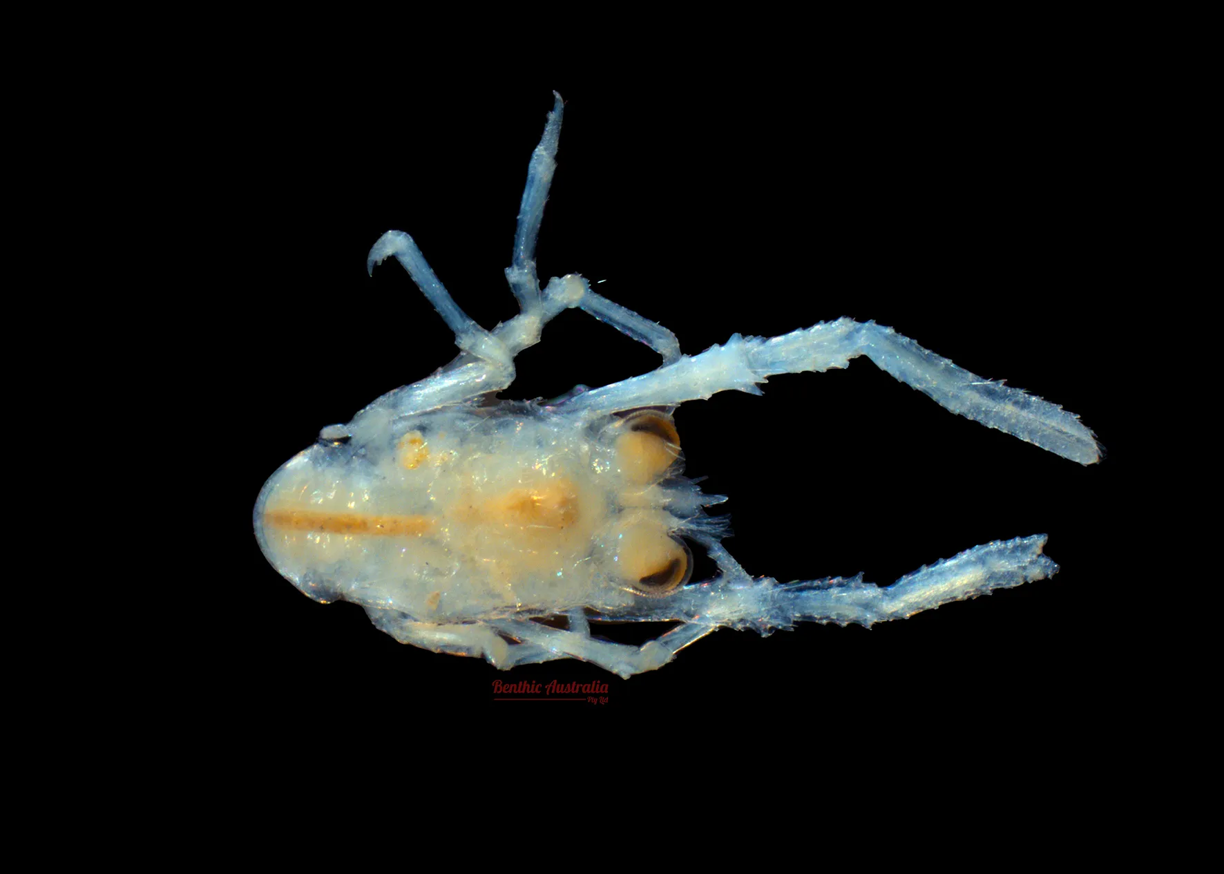
Galatheidae
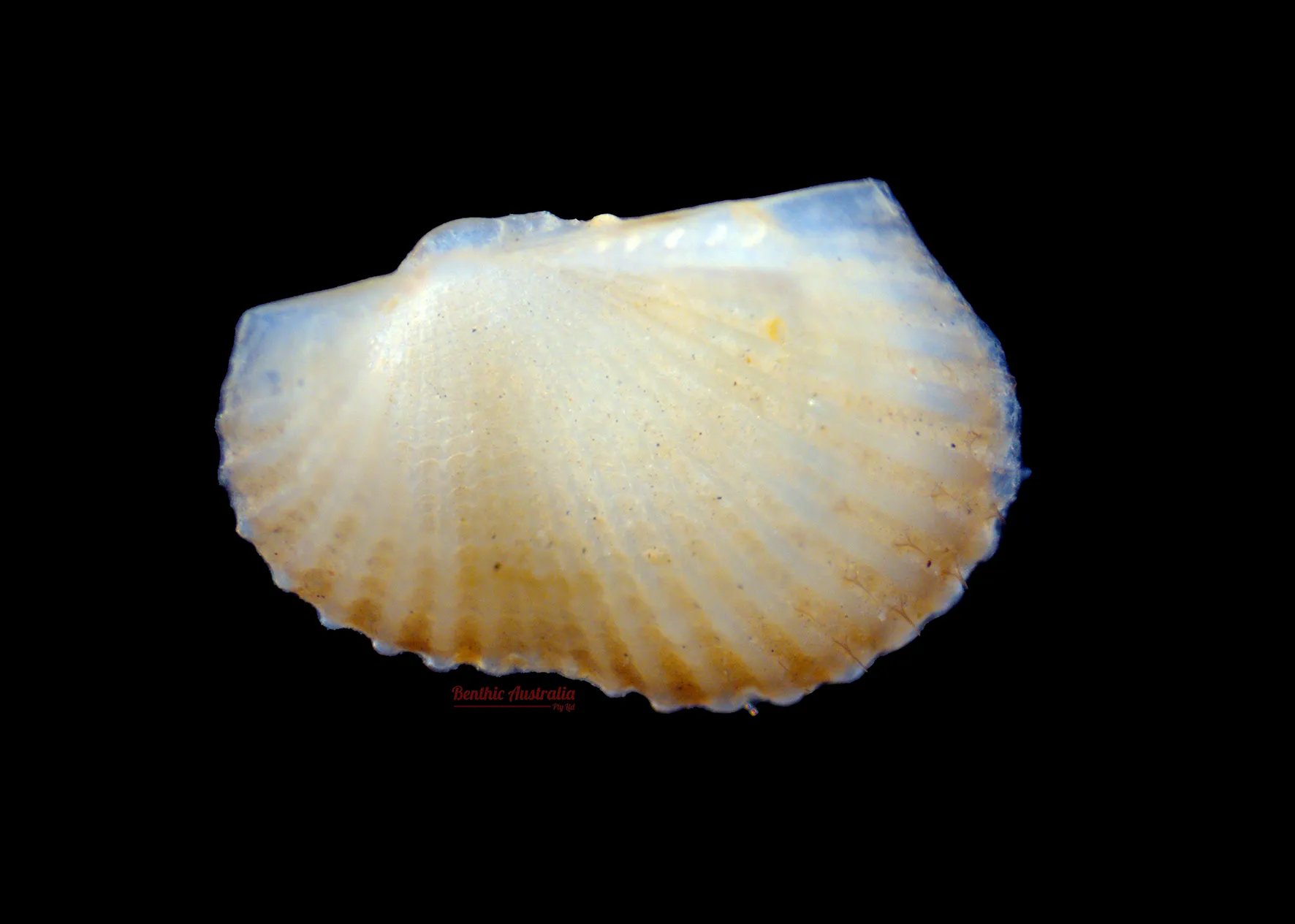
Arcidae
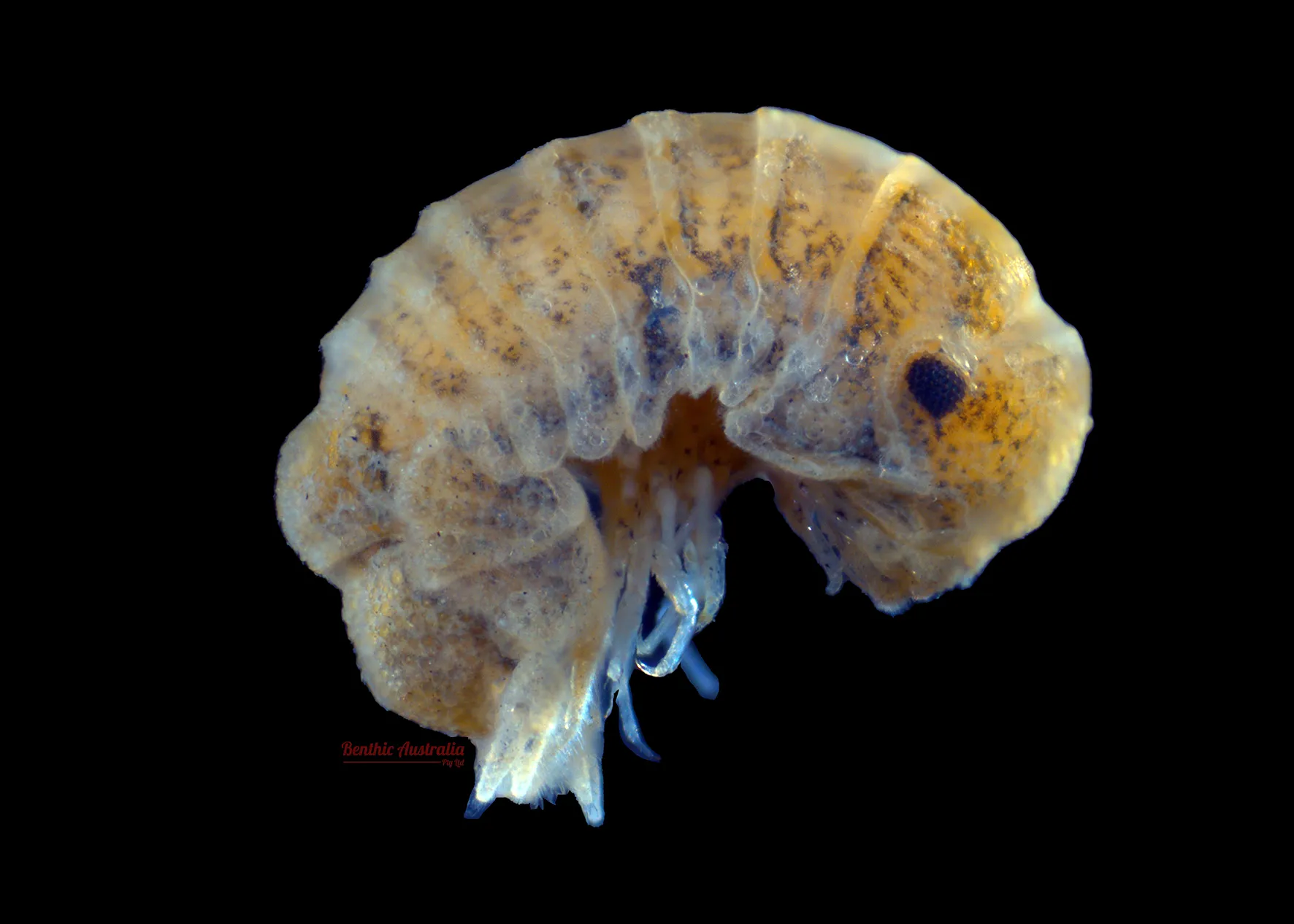
Sphaeromatidae
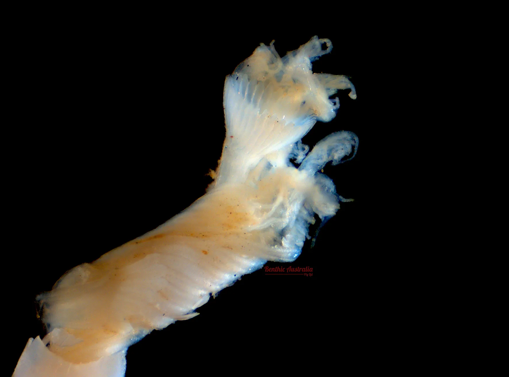
Serpulidae
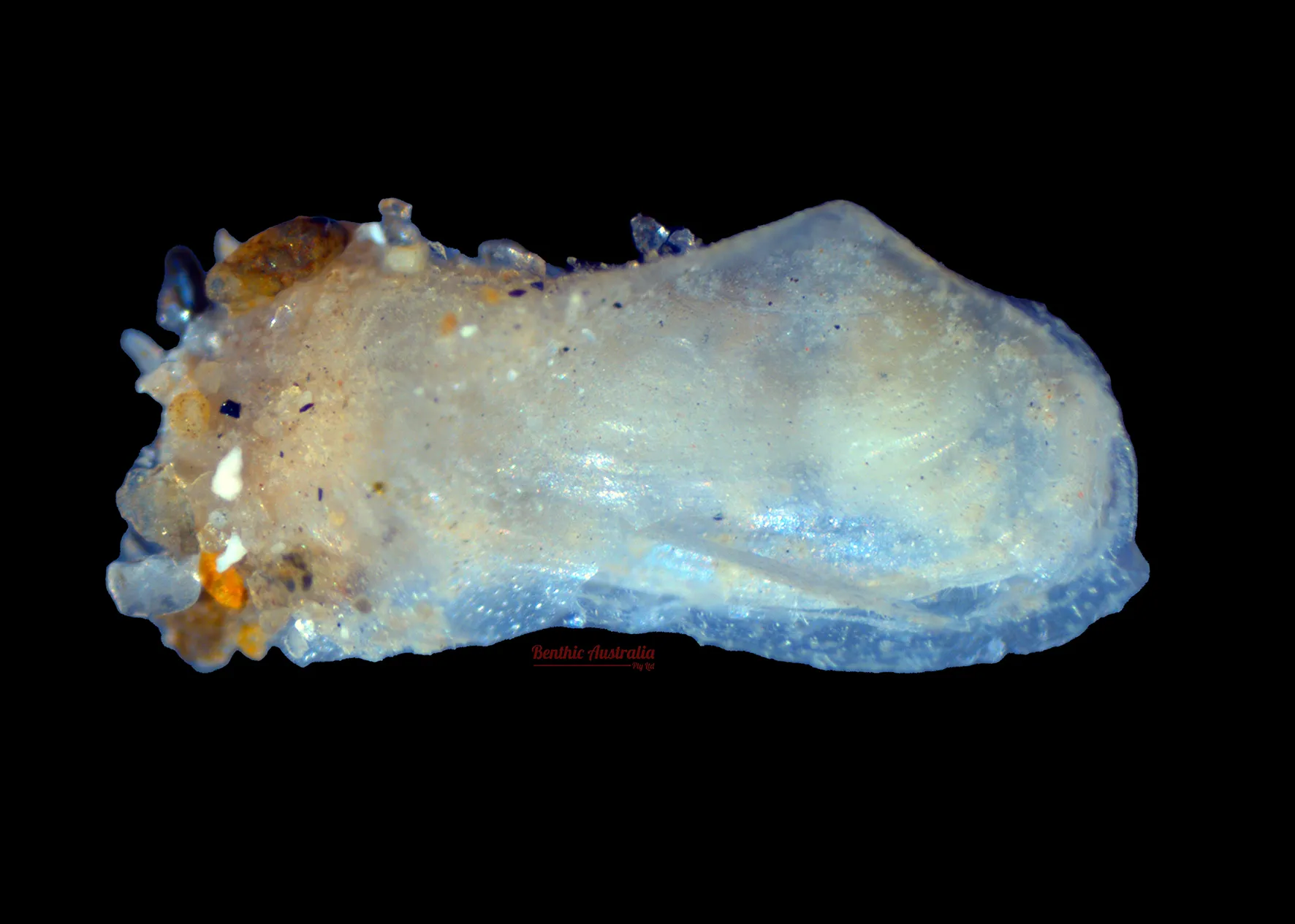
Laternulidae
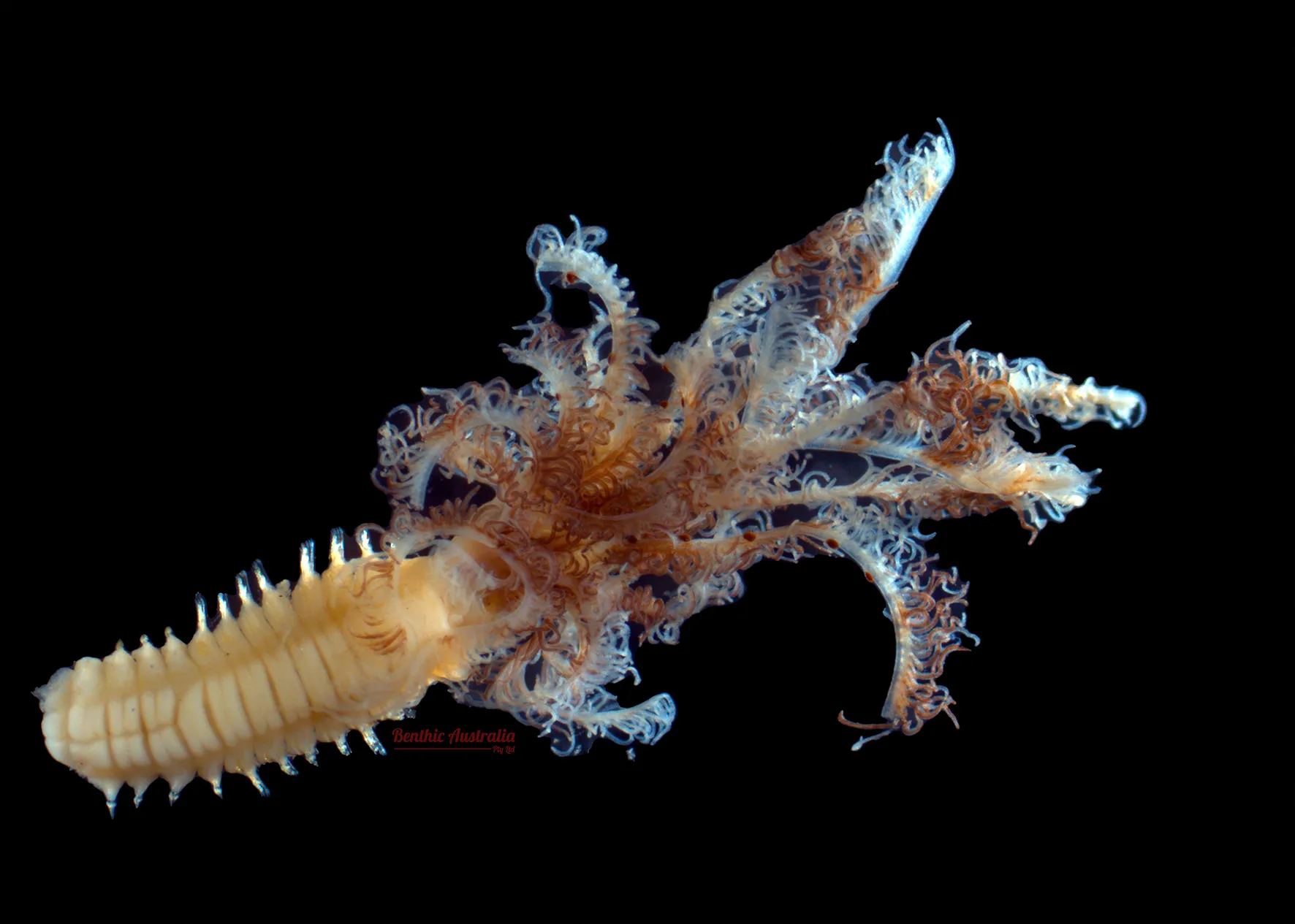
Sabellidae
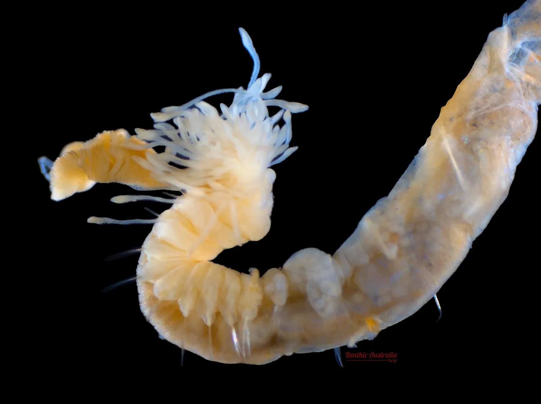
Trichobranchidae
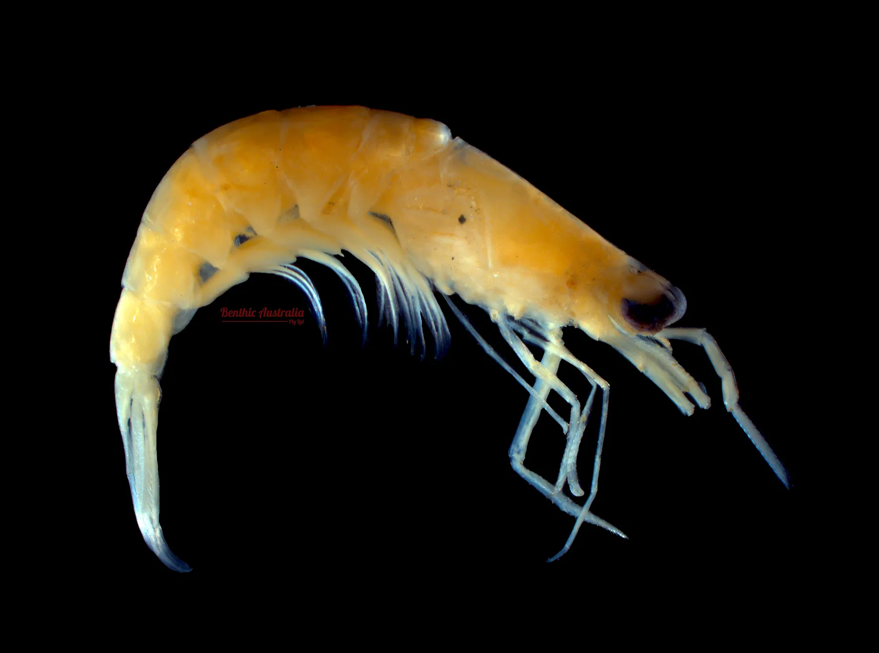
Processidae
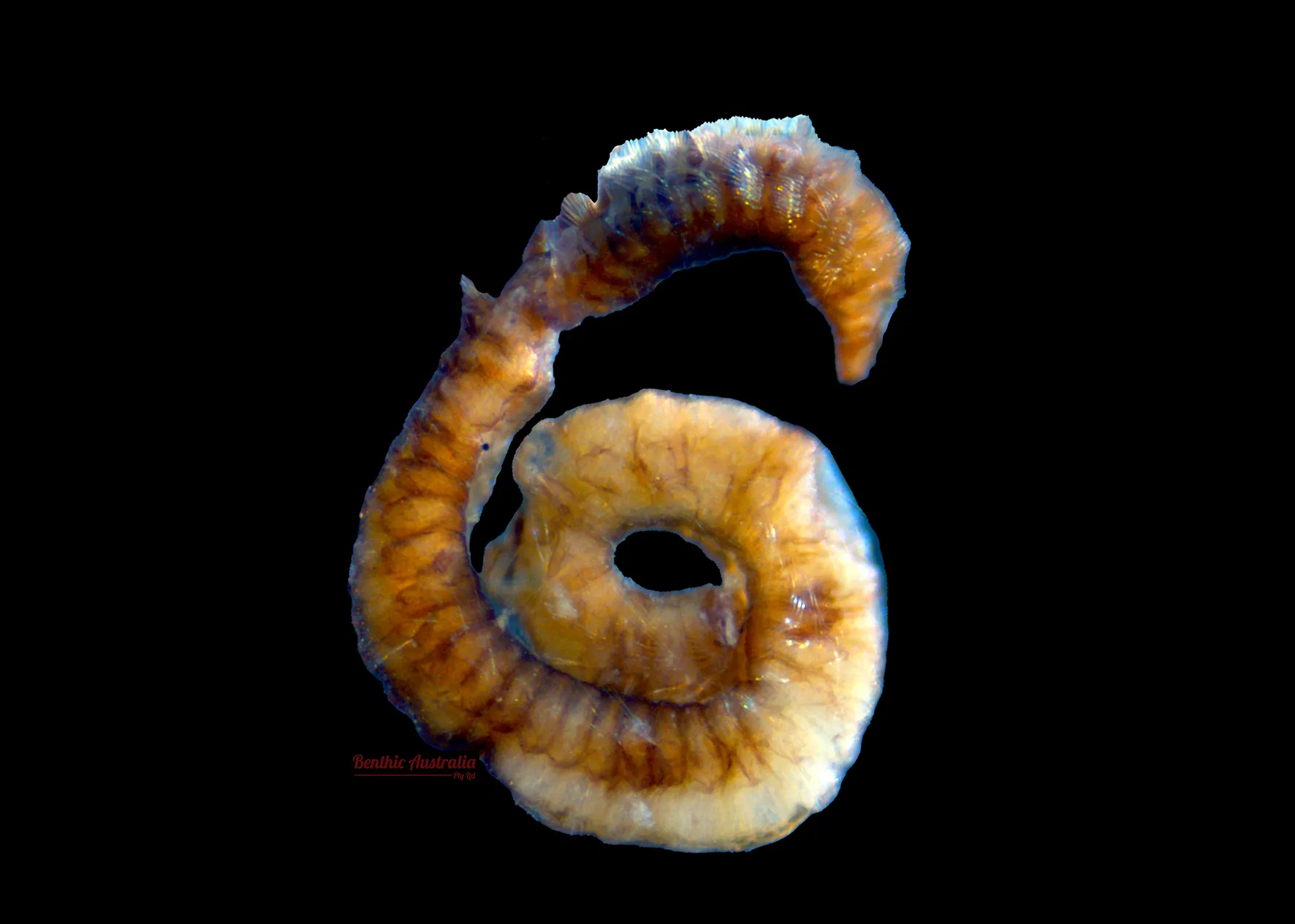
Pareonidae
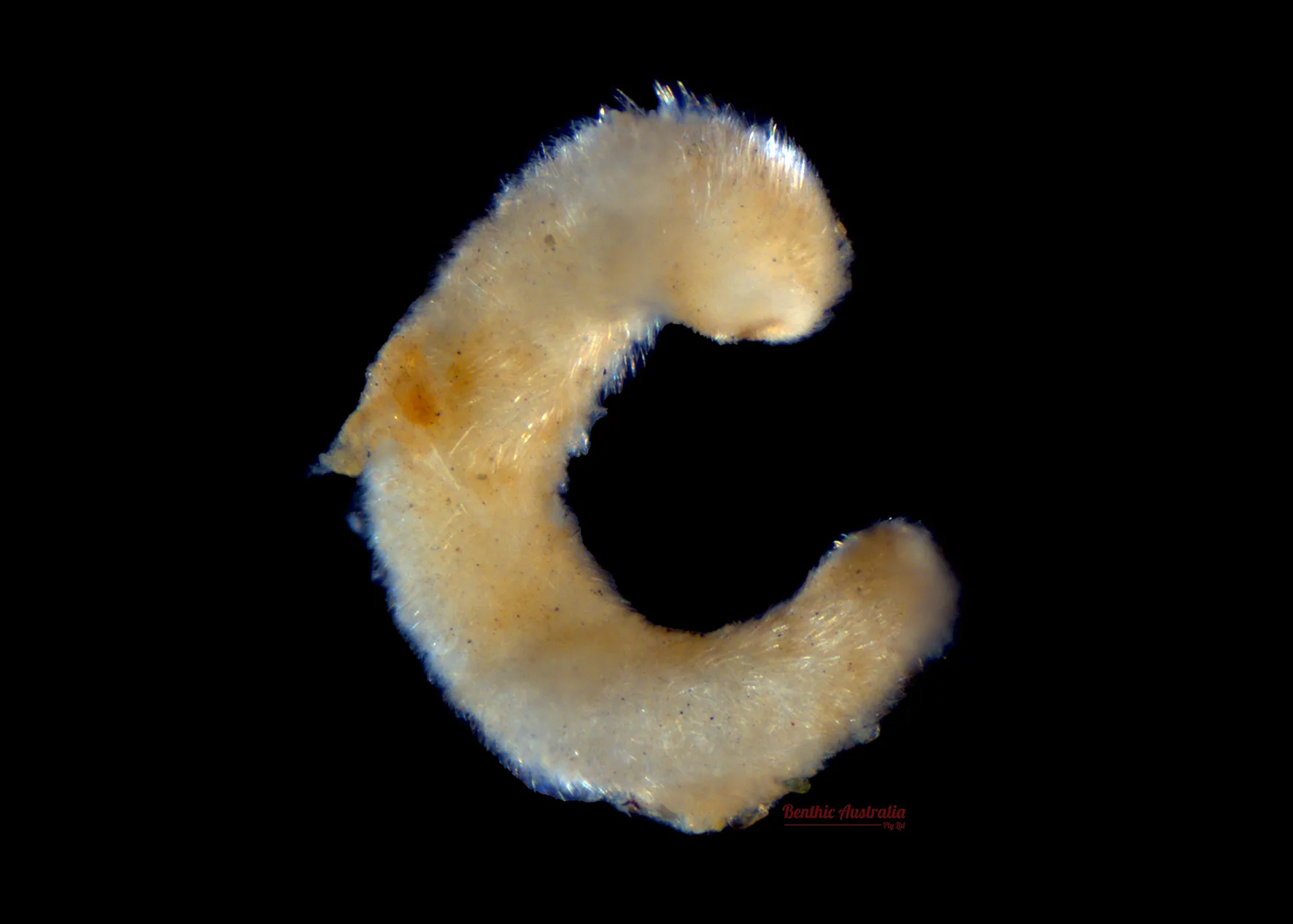
Alplacophora
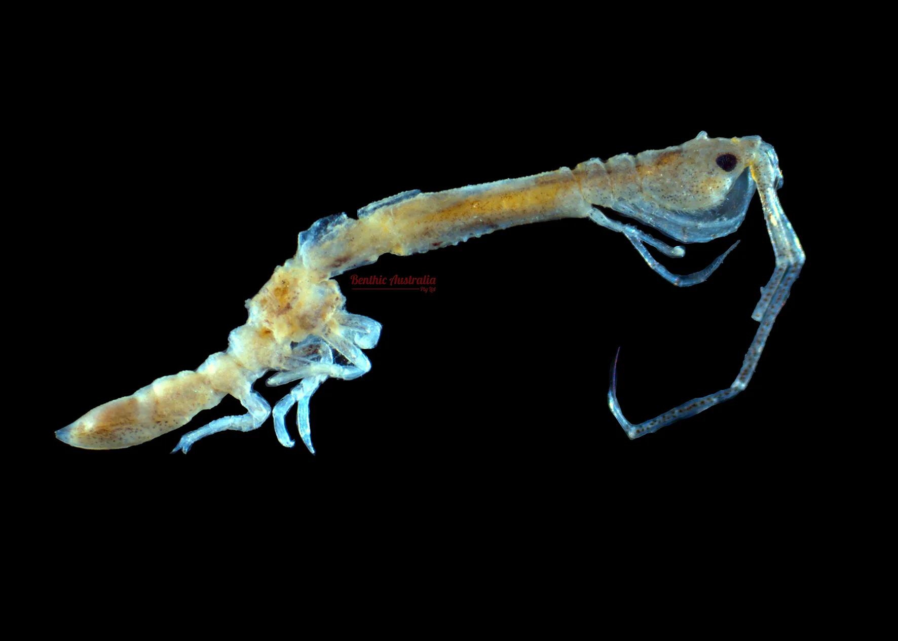
Arcturidae
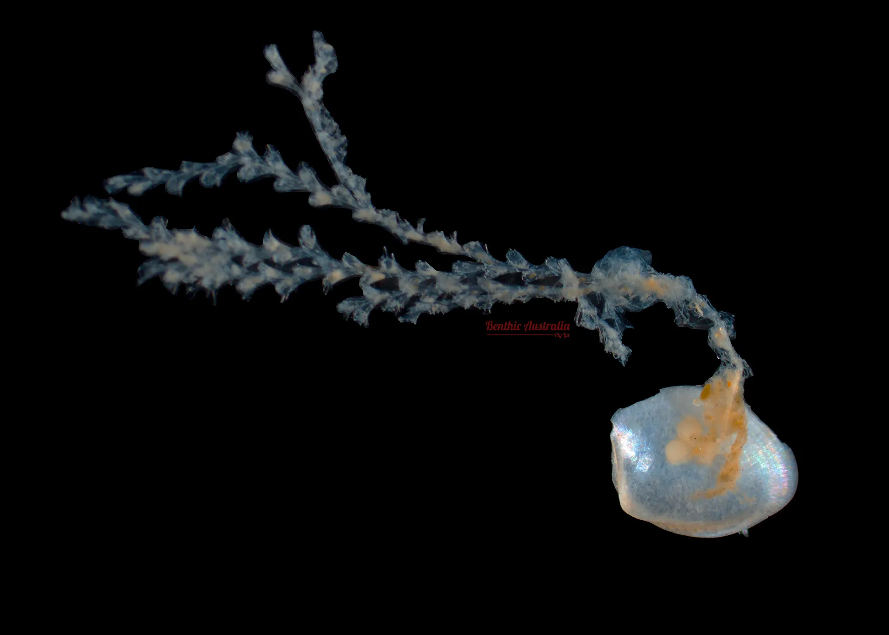
Hydrozoa
Real Time Monitoring Dashboards
Healthy Waters Partnership for the Dry Tropics
The Healthy Waters Partnership for the Dry Tropics is a partnership that gathers and analyses water and environmental data to deliver an independent understanding of the health of our waterways and Reef. The Port is a key member of this partnership, providing data, along with over 20 other organisations, to deliver the annual Townsville Dry Tropics Waterways Report Cards.